Publications
LCA produces tailored briefings and high quality visuals and infographics that provide valuable insight and commentary ensuring that our clients are fully aware of decisions and announcements that may impact on their strategies and objectives.


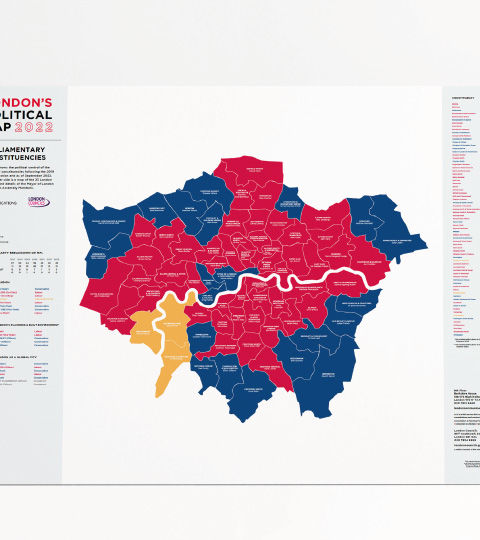
A political atlas produced annually by LCA in partnership with London Councils. It shows political control of London’s 73 constituencies following the 2019 General Election, as well as of the capital’s 33 boroughs following the 2022 Local Elections. This latest edition also includes maps of the London Assembly’s super-constituencies, of the city’s five sub-regional borough partnerships, as well as the Inner-Outer London boundary, along with a host of further information about the capital’s political landscape.